
East Peoria Neighbors by Block
A block lookup begins with place, not a list of names. The Tazewell County map locates address points, parcels, PIN labels, roads, zoning, and district lines. DevNet adds a dated assessed owner and mailing address after the PIN is known. East Peoria planning, code, permit, council, and archive files may document public action tied to one site. Each record has a narrow meaning, and none alone establishes every occupant.
| Source | What It Shows About a Block | Access |
|---|---|---|
| Tazewell public GIS map | Adjacent parcels, address points, districts, roads | Free web map |
| DevNet assessment roll | Dated assessed owner, mailing fields, class, PIN | Free portal or office |
| Recorder plats and deeds | Subdivision lots, legal descriptions, transfer parties | Remote route, counter, copies |
| East Peoria public files | Planning, permits, code, council, archive actions | Web pages, archive, FOIA |
| Fondulac directories | Dated historical address and household entries | Library retrieval, in person |
An owner name on the assessment roll is evidence about an assessed parcel for a tax year. A mailing address may be elsewhere. A directory entry is evidence that a publication associated a name with an address in its year. Use those precise labels when describing East Peoria neighbors.
East Peoria Block Map Layers
The Tazewell public GIS map includes Address Points, Full PIN Labels, Transportation, PLSS, parcels, cadastral data, zoning, enterprise zones, and taxing districts. Its parcel layer omits owner data. That design supports a sound process: use the map for shape and location, then use the PIN in DevNet for assessment fields.
Tax districts can explain why two close lots have different school, fire, township, library, park, sanitary, water, or municipal labels. East Peoria, Fondulac Township, a postal city, a ZIP, and a Census place are separate layers. A nearby address can share a street while falling outside one legal boundary.
The county map lists 2019 aerials and 2015 imagery. Cite the image year rather than presenting an old photograph as current. Parcel geometry may also change through splits or combinations.
Note: The PIN is a more reliable cross-system key than a ZIP, a road label, or a mailing-city name.
Assess East Peoria Neighbor Parcels
The Tazewell County Assessment Office links DevNet and county GIS. DevNet can search House Number Low and High with Street Name, which helps isolate nearby parcels after the map establishes the block. It also accepts PIN, owner, legal description, township or municipality, tax district, class, sale dates, and tax years.
The assessment office appears in the captured official page below.
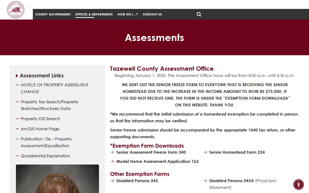
The office provides the owner-and-mailing record channel that complements the no-owner GIS parcel layer.
A parcel card may show site address, owner and address, separate mail-to fields, legal description, assessments, exemptions, sale history, taxing bodies, and a map. Preserve the tax year and do not infer occupancy from an exemption or matching mailing address.
Map East Peoria Neighbor Parcels
Start at one confirmed address point and inspect the parcels touching it or facing it across the road. The goal is a bounded block record, not a sweep of private names. Save each PIN, legal description, map source, and retrieval date before opening assessment records.
- Validate the starting address and locate its point in county or city GIS.
- Record the PINs for parcels beside, behind, and across from the starting lot.
- Open each PIN in DevNet and preserve owner, mailing, site, legal, and tax-year fields separately.
- Use plats or deeds only where a boundary, split, subdivision, or transfer needs confirmation.
This radius method stays focused on immediate neighbors. A full road requires the broader East Peoria street directory workflow, including house ranges, postal checks, deed chains, and historical street names.
East Peoria Planning Near You
The East Peoria Planning and Community Development page is the right city route for plats, zoning, development, and address-centered planning context.
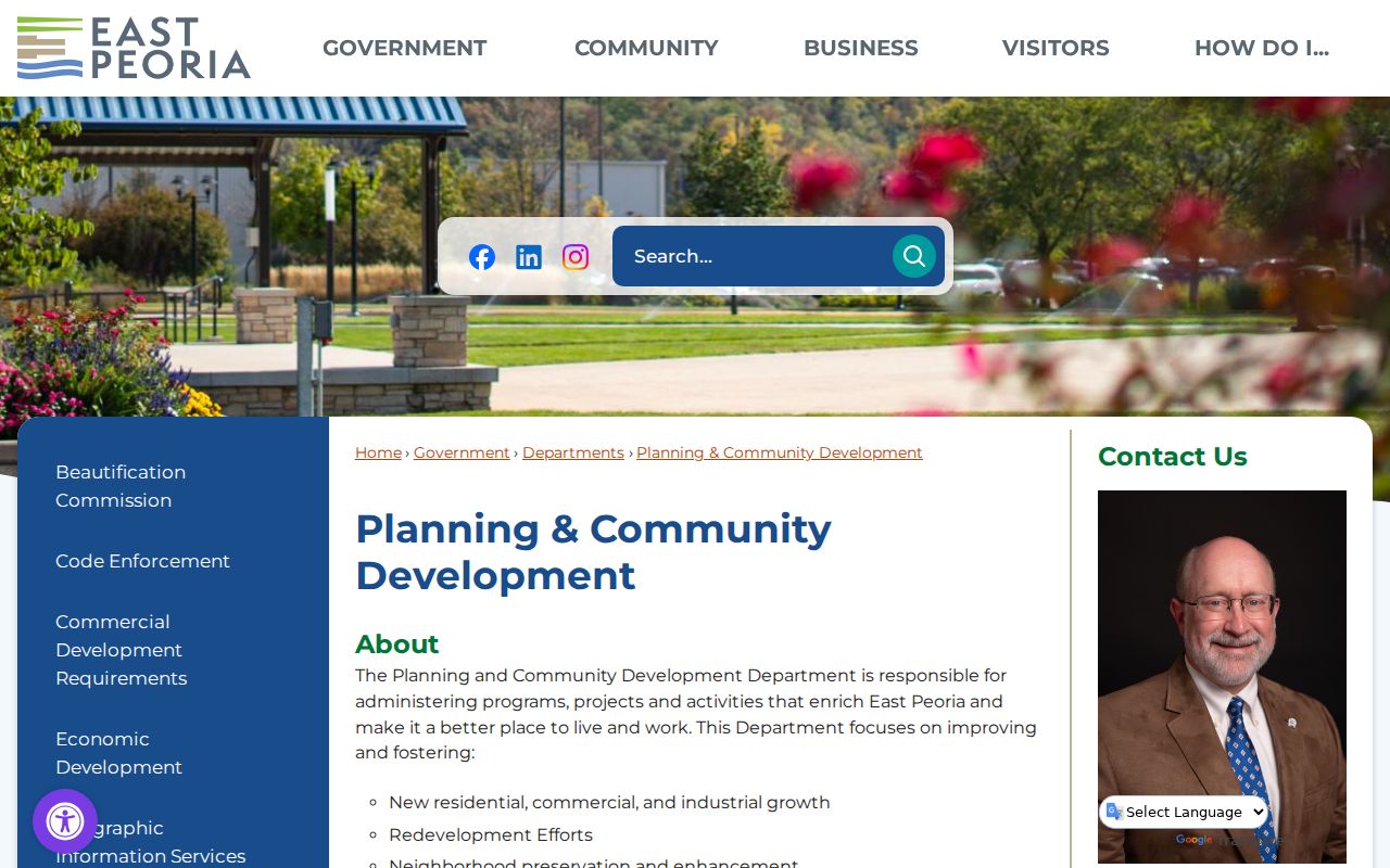
The captured page points from a neighbor map toward public land-use files rather than a private roster.
Subdivision plats explain lot and block structure. A planning case may show a site, applicant, owner field, legal description, hearing date, or decision when those fields are public. Ask for a narrow address or PIN and date range. Do not treat an application as proof that a project was approved or completed.
East Peoria Code Records Nearby
Public code records can identify a city action tied to an address, but they must be read by status and date. The East Peoria Code Enforcement page supplies the official contact route.
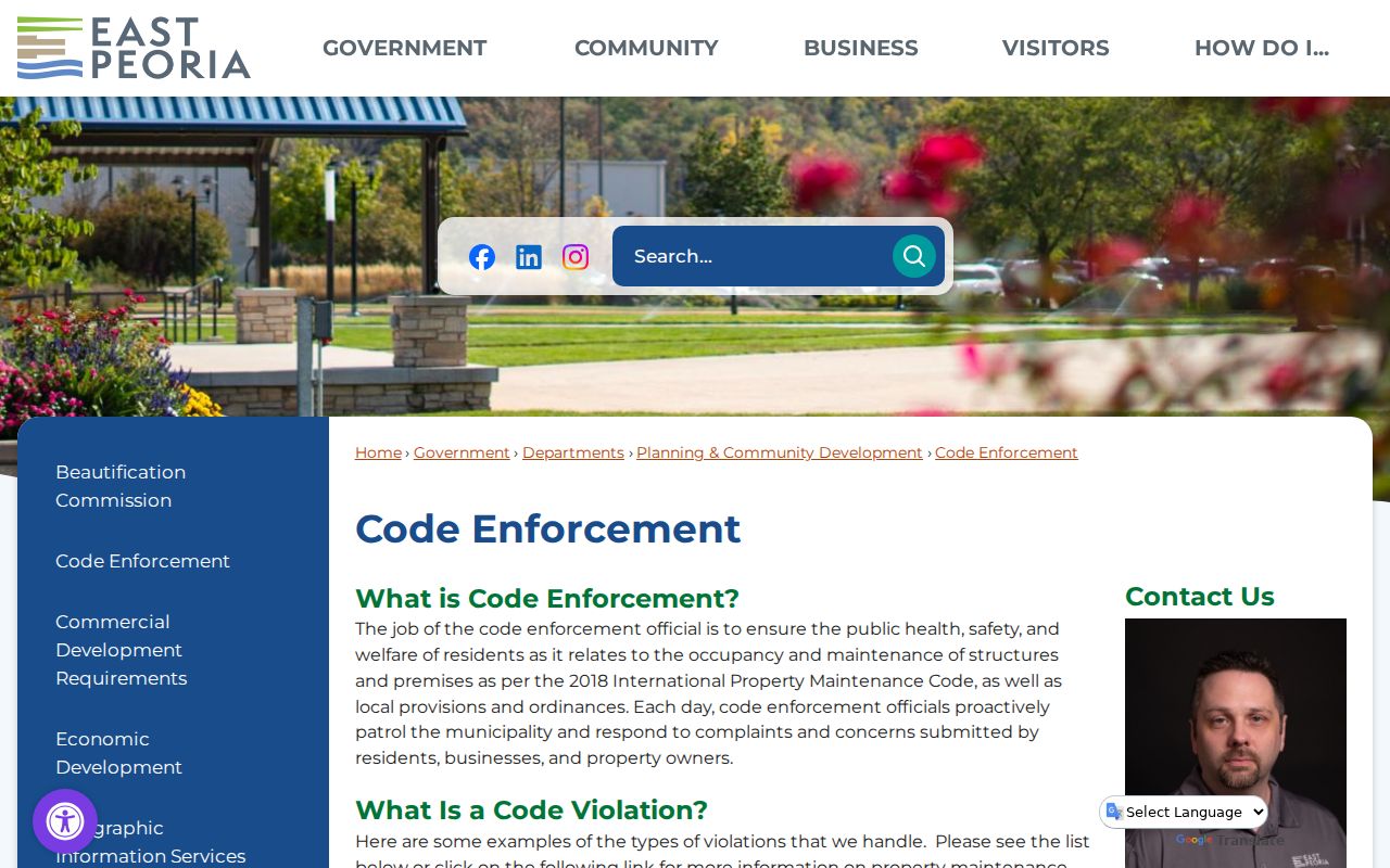
The page shows where to ask about an existing nonexempt code file without assuming every complaint is substantiated.
A request should name the address, time span, case type, and desired final status. Avoid copying private contact details from a complaint or permit form. If the file is not online, the East Peoria FOIA form accepts a record description, period, inspect-or-copy choice, format, and response method.
East Peoria Block Decisions
Some neighborhood changes appear first in public meetings. The East Peoria City Council page provides officials, meeting information, agendas, and minutes.
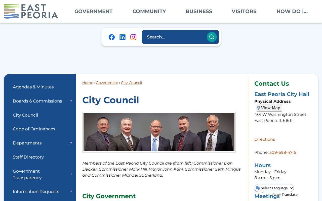
The council record trail can connect an address or subdivision to a dated public decision, not to a claim about all nearby residents.
Search meeting packets by street, subdivision, parcel, zoning matter, flood work, road, park, or project name. East Peoria's river, rail, highway, and flood-control geography often explains why a block appears in an infrastructure file.
Note: An event, meeting, or permit mention is a dated public connection and does not establish that a named person lived nearby.
Districts Around East Peoria Neighbors
DevNet's live district choices include county, municipality, township, school, fire, library, park, sanitary, water, road, special service, and other taxing bodies. These fields describe how a parcel is governed and taxed. They are not social affiliations.
Compare the city-limit layer, township or municipality selection, and tax districts for each surrounding PIN. This can resolve an apparent conflict when one record says East Peoria, another says Fondulac, and a mailing source uses a postal label. Keep every label with its source.
River and flood-control features also matter. The Illinois River, Farm Creek, levees, bridges, rail lines, and highways can shape parcel access and archive terms. Use them as location clues, then confirm the precise lot with a PIN and legal description.
Official East Peoria Neighbor Evidence
Official records and commercial neighbor tools answer different questions. County and city sources identify their custodian, date, field labels, and correction route. Commercial tools may combine stale or unexplained data and should never replace the record that actually supports a claim.
| Source type | Strong point | Limit |
|---|---|---|
| GIS and assessment | Parcel geometry, PIN, dated owner fields | Not a household roster |
| Deed or plat | Recorded parties and land description | Not proof of current occupancy |
| City public file | Dated official action at a place | Scope and redactions vary |
| Commercial compilation | Broad discovery clues | Source, age, and accuracy may be unclear |
For East Peoria neighbors, cite the official URL and retrieval date. If records disagree, preserve both dates and ask the custodian about correction rather than selecting the result that seems convenient.
East Peoria Neighbor Privacy
Public parcel records do not disclose every person at an address. A renter, family member, guest, or other occupant may never appear in the property roll. Voter lookup is an individual process requiring personal facts, not a public block directory. Driver records and sensitive personal data carry separate restrictions.
The Illinois Address Confidentiality Program provides a substitute address for qualifying participants. It does not erase every older public record, but a protected-address signal is a firm stop. Do not combine property, voter, directory, or online clues to locate the actual address. Contact the Illinois Attorney General program or the record custodian instead.
Lawful use. Use East Peoria neighbor records for civic research, local history, property questions, or personal safety awareness. Never watch, harass, threaten, or expose another person.