
Walk an East Peoria Street
Begin with the address exactly as written. East Peoria and Tazewell County maps can connect that text to an address point, parcel polygon, full parcel identification number, or PIN, and legal description. The county assessment roll then supplies a dated owner and mailing address. Neither item proves who lives at the property. Deeds identify parties to a transfer, while a printed directory gives a name-and-address association for its publication year. Keeping those claims separate makes a street directory useful without overstating what the records prove.
- Confirm the full postal form, including the unit and directional, through USPS. Do not use the ZIP as a city-limit test.
- Find the address point in city or county GIS. Copy the PIN and note the map layer and imagery date.
- Enter that PIN in DevNet. Record the tax year, assessed owner, mailing address, site address, and legal description as separate fields.
- Use the owner and legal description in the Recorder route. Compare the latest instrument with the parcel card.
- For an older household, check a Fondulac District Library directory near the target year, then search a newspaper or city archive by street and surname.
The chain is address → address point → PIN → parcel → owner field → instrument → dated directory entry. A no-hit at one stage calls for a fallback, not a claim that the address never existed.
Write down the exact source label at each step. This small habit prevents a tax-year owner, an older deed party, and a directory householder from being blended into one unsupported present-day identity. It also makes later corrections much easier.
East Peoria Street Search Fields
The Tazewell County DevNet property search supports both a point and a range along one road. House Number Low and High can isolate a block. Street Name tests the road text, while municipality, legal description, class, tax district, sale date, and tax year narrow the set. Search All Tax Years helps when a current East Peoria street directory result differs from an older tax record.
| DevNet control | Input | Street use |
|---|---|---|
| Parcel Number | Exact or normalized PIN | Join map to parcel card |
| House Number Low/High | One number or range | Scan a point or block |
| Street Name | Road text | Test current and old spellings |
| Township/Municipality | Live selection | Check the jurisdiction |
| Legal Description | Subdivision phrase | Find a changed address |
| Tax Year Low/High | Year range | Date the owner display |
DevNet also has a separate Mobile Home Search with mobile-home number, owner, house, street, city, and tax-year fields. Try it when the ordinary parcel tab has no result. Save the retrieval date with each record because portal data changes.
Note: An assessed owner, mail-to address, and site address are distinct labels and should never be merged into one resident claim.
Map East Peoria Streets by PIN
The county public GIS web map carries Address Points, Full PIN Labels, parcels, roads, zoning, taxing districts, PLSS survey data, and imagery. Its parcel layer is a no-owner layer. Identify the shape and PIN on the map, then carry the PIN to DevNet for assessed name and mailing fields.
The map helps show adjacent lots, a split parcel, a city-limit edge, or a road crossing tax districts. Listed aerials include 2019 and 2015 imagery, so a photograph is not proof of present conditions.
The official map route appears below.
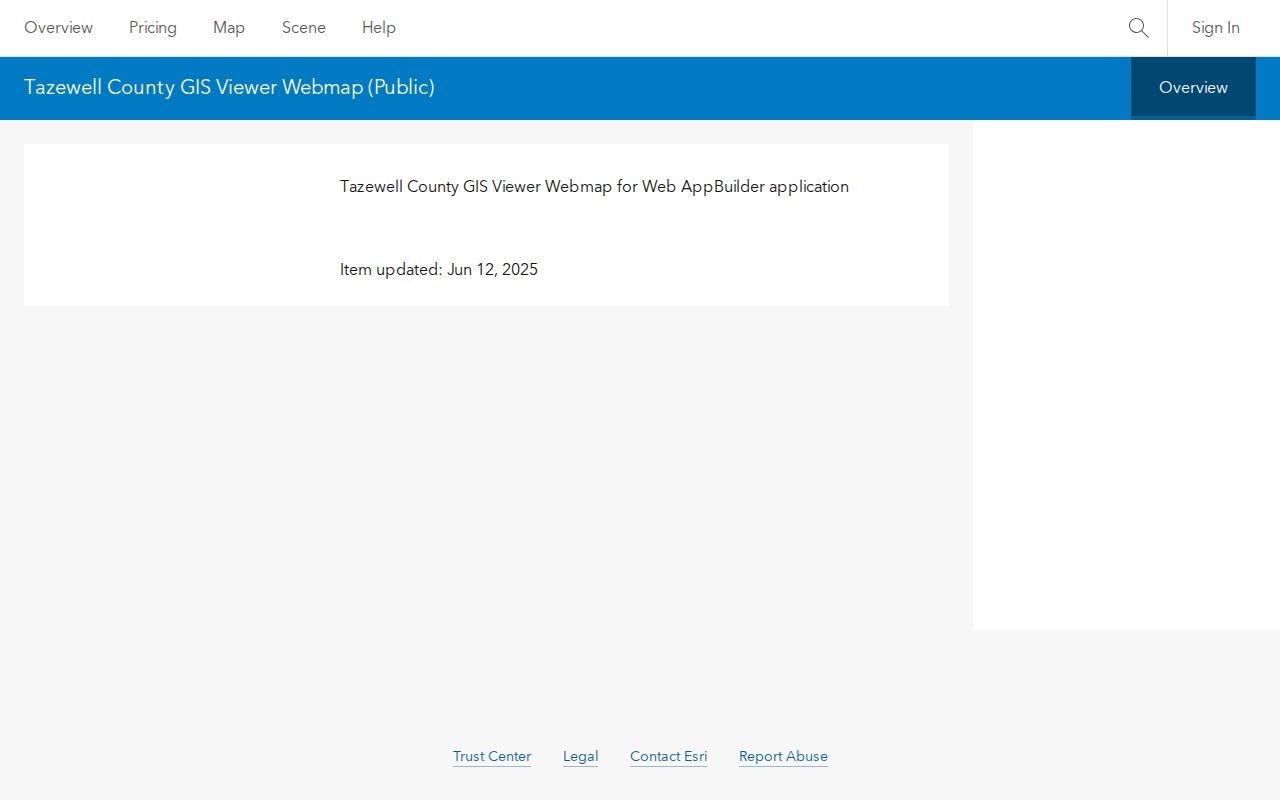
The captured GIS page connects an East Peoria address with parcel geography, not a private household list.
Old Names in East Peoria
Some searches fail because a source used a settlement name, landmark, or plat term instead of the modern road. East Peoria history records Coleville, Bluetown, Hilton, and Fondulac. Fondulac was platted around Mill, Main, Depot, and the railroad in 1855. Bluetown was platted near East Washington in 1864, Hilton followed in 1869, and the Village of East Peoria name arrived in 1889.
Railroad links, coal, brickmaking, Farm Creek, the Illinois River, the 1927 flood, and 1948 flood-control work can appear in newspapers, plats, or public works files. Pair a surname with the historical place and year, then use a plat or deed to move toward a modern parcel. Never turn a landmark into an exact address without street-level proof.
- Parcel
- A mapped tract tracked under a county PIN.
- Situs address
- The physical site address, which may differ from the owner mailing address.
- Plat
- A recorded map of lots, blocks, streets, or a subdivision.
- Criss-cross directory
- A directory arranged by street or address instead of only by surname.
East Peoria Records by Address
No single roll lists every person on an East Peoria block. County parcel and deed records focus on land interests. City permits, planning files, archive items, and nonexempt FOIA records can add a dated project or municipal action. Printed directories may link a householder to an address in one year.
| Record Set | Keeper | What It Shows | Access |
|---|---|---|---|
| Property and tax roll | Tazewell Assessment Office | Dated owner, mail, class, exemptions | DevNet or office |
| GIS parcel map | County and city GIS | Points, PINs, lots, zones, districts | Free viewers or staff help |
| Deeds, liens, plats | County Clerk and Recorder | Parties, instruments, descriptions | Remote service, counter, microfilm |
| Printed directories | Fondulac District Library | Dated household entries | Noncirculating, staff retrieval |
| Permits and city files | East Peoria departments | Work, planning, zoning, code | Portal, archive, or FOIA |
The PIN is the best cross-system key. Street text may change, and a mailing city does not define a boundary. Use the legal description to check that a deed, plat, permit, and current parcel concern the same land.
East Peoria Deeds Along Streets
The Tazewell County Clerk and Recorder keeps deeds, mortgages, releases, liens, plats, subdivisions, surveys, contracts, and related permanent instruments. Tapestry is linked for remote access. Its full county search form did not render during unattended research, so call 309-477-2210 or visit Suite 124 in the McKenzie Building when remote access fails.
Recorder information is open without an access charge, though copies have a fee. Staff demonstrate the system but do not conduct a search. Older files may be on microfilm or hard copy. The TCGHS 1830–1929 deed index is a useful lead, but it is incomplete and must be checked against the official instrument.
A grantor transfers an interest; a grantee receives one. Follow each grantee backward as the next search name while matching the legal description.
East Peoria Permits by Street
The East Peoria residential permits page identifies online submission and city building standards. Ask for the address, permit category or number, issue date, and final status. An issued permit does not prove work was completed.
The official permit route is captured below.
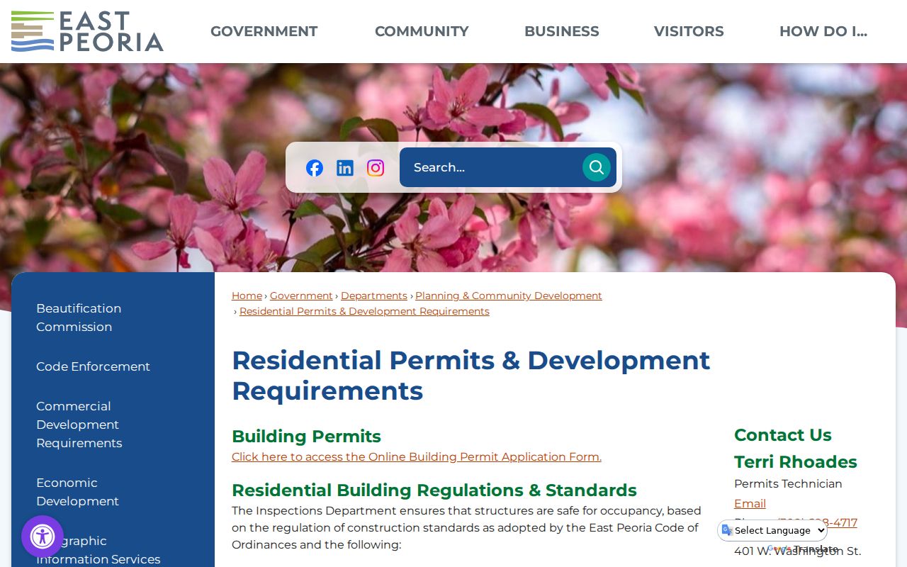
The image connects a street search to East Peoria's development records rather than an inferred occupant list.
For files not online, submit a narrow city FOIA request with the PIN, category, date range, and format. The city need only provide existing nonexempt records.
Validate East Peoria Street Labels
USPS checks delivery formatting, not ownership or city limits. Preserve directionals, suffixes, units, and ZIP+4 only when returned for the complete address.
Use the official East Peoria Branch listing as a postal reference.
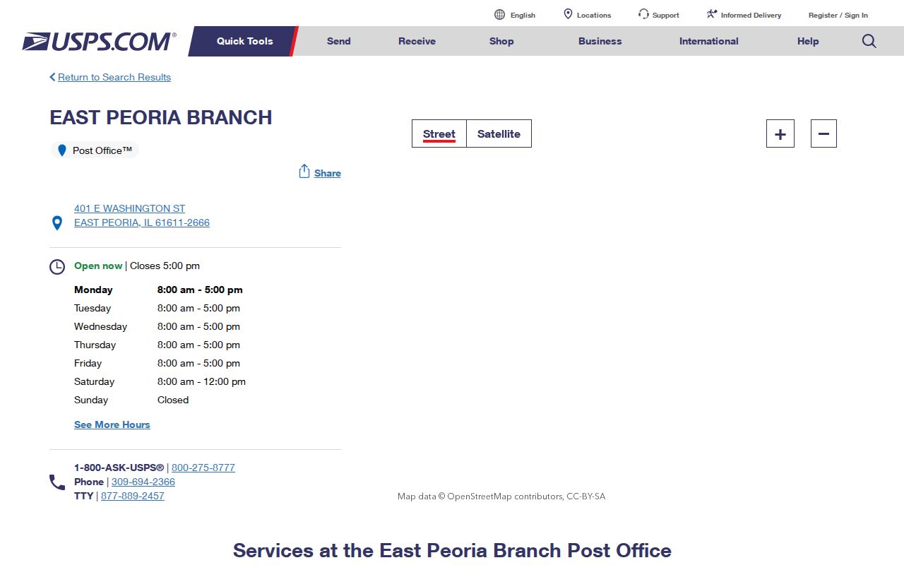
The listing confirms a local postal label but says nothing about who occupies another address.
Note: A ZIP, city limit, Census place, township, tax district, and school district are different geographic layers.
Search East Peoria Street Archives
The East Peoria archive search accepts keywords, archive category, time period, and dates. Search an exact street with plat, subdivision, zoning, flood, road, permit, or ordinance. Older settlement names may work better for early files.
The city archive interface is shown here.

The controls keep a broad street name from returning an unmanageable mix of notices.
If no archive result appears, use city FOIA. County deeds and assessment files require a county request.
East Peoria Street Map Routes
The city map hub gathers local routes for zoning, parcels, topography, aerials, and street context.
Open the East Peoria GIS and maps page before sending a records request.
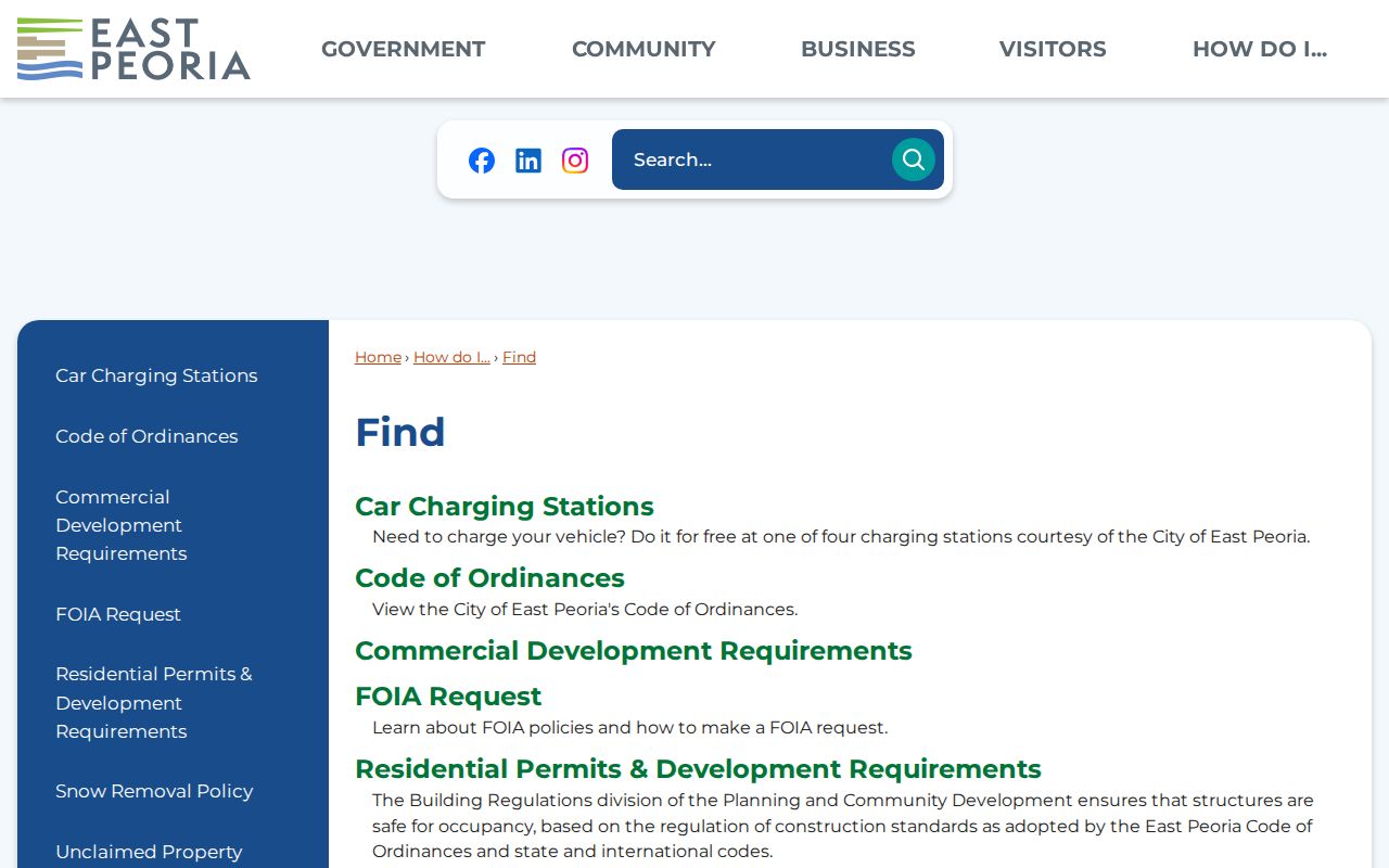
The city links complement county tools when a question turns on zoning or the municipal boundary.
For the historical shelf, use the East Peoria city directory collections and keep print evidence separate from current GIS.
East Peoria Street Directory Limits
A street directory cannot turn ownership into proof of residence. DevNet identifies an assessed owner and mailing address for a tax year, and a deed identifies parties to an instrument. Neither is a full household list. Printed directories are dated and may omit people or preserve an old label.
Illinois voter tools support individual registration checks, not a scraped block list. Driver data is restricted. Protected addresses should not be rebuilt through property, voter, directory, or social clues. If a result suggests Address Confidentiality Program participation, stop at the substitute record.
Lawful use. East Peoria records may support family history, title research, civic review, or scam checks. Never use them to stalk, harass, threaten, or infer a protected location.